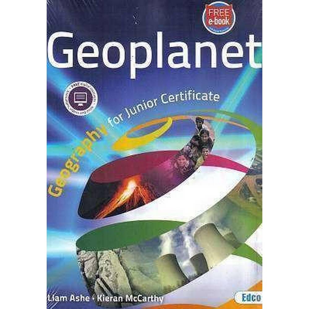
GEOPLANET – SET
€29.95
In stock
Key Features;
Beautifully illustrated with full-colour diagrams, photographs, maps, tables and charts
Contains up-to-date statistics, data and examination questions
Uses clear, simple and age-appropriate language for students – SMOG tested
Key concepts are explored in local, national and international settings
Literacy and Numeracy skills are enhanced with keywords, definitions and calculations
Learning outcomes feature at the start of every chapter and keywords are highlighted
End-of-chapter summaries will deepen students’ understanding of the subject matter
There is a major emphasis on map-reading and the development of other skills
Contains a wide selection of aerial photographs, as well as a full range of new Ordnance Survey Ireland (OSI) maps and legends
Features up-to-date case studies, such as the Ebola epidemic, River Shannon flooding and the Nepal earthquake
Has a variety of activities, such as discussion, skills- and research-based questions
Digital resources are referenced throughout the textbook.
The Geoplanet package contains:
A Student Textbook and free Geoplanet Workbook, as well as access to a free e-book for students
Free Teacher’s Resource Book and access to a free Geoplanet e-book, plus a bank of free Digital Resources.
| Weight | 1.976 kg |
|---|---|
| Class/Level | Junior Cycle |
| Format | Paperback |
| Edition | 1st Edition |
| Publisher | Edco |
| School Level | Secondary |
| Authors | Liam Ashe & Kieran McCarthy |
| Subject | Geography |
Related products
In stock
Junior Cycle
In stock
Junior Cycle
ALLONS-Y 1 – TEXTBOOK, MON CHEF D’OEUVRE BOOK & LEXIQUE – SET – NEW / SECOND EDITION (2021)
In stock
Junior Cycle
In stock
In stock
Junior Cycle
In stock

Junior Cycle
In stock
Junior Cycle
In stock